Geosciences, remote sensing & spatial analysis
GPS-based volumetric calculations, seismic-reflection research, LiDAR and terrain data, remote sensing, data mining, machine learning, and published web maps.
GPSLiDARRemote sensingSpatial analysis
GIS ANALYST · GISP · ENTERPRISE GIS & SYSTEMS INTEGRATION · DALLAS, TEXAS
I love making technology work together—connecting spatial data, applications, services, and workflows into tools people can understand and use.Easily distracted by good symbology.
ExploreThe real work is figuring out what the information means, how the pieces connect, and how to build something dependable from all of it.
I work where spatial research, technical problem-solving, and clear communication meet. My foundation in hands-on GIS production and end-user workflows shapes how I approach the systems behind the map: data, publishing, permissions, dependencies, and the architecture that makes technical solutions useful in practice. I am especially drawn to designing how technologies connect—and implementing the configuration that makes them work together.
“The map is not the territory.” The same site can produce different maps because the right answer depends on who’s asking. Explore how civil engineering, transportation, municipal responsibility, and public understanding reshape what the parcel means.
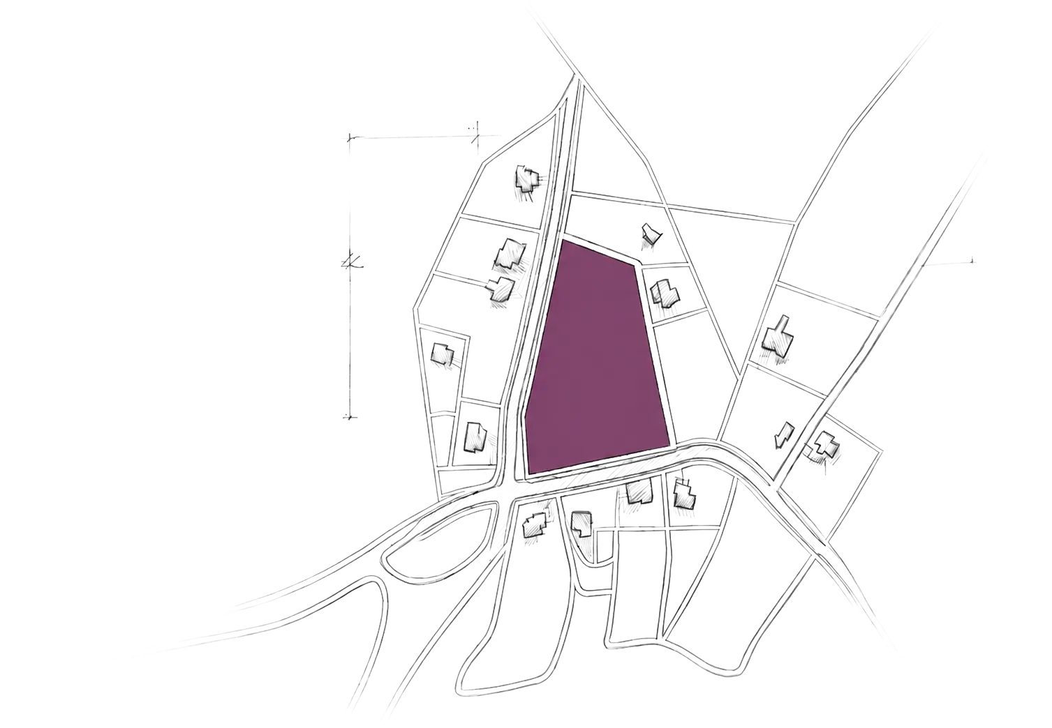
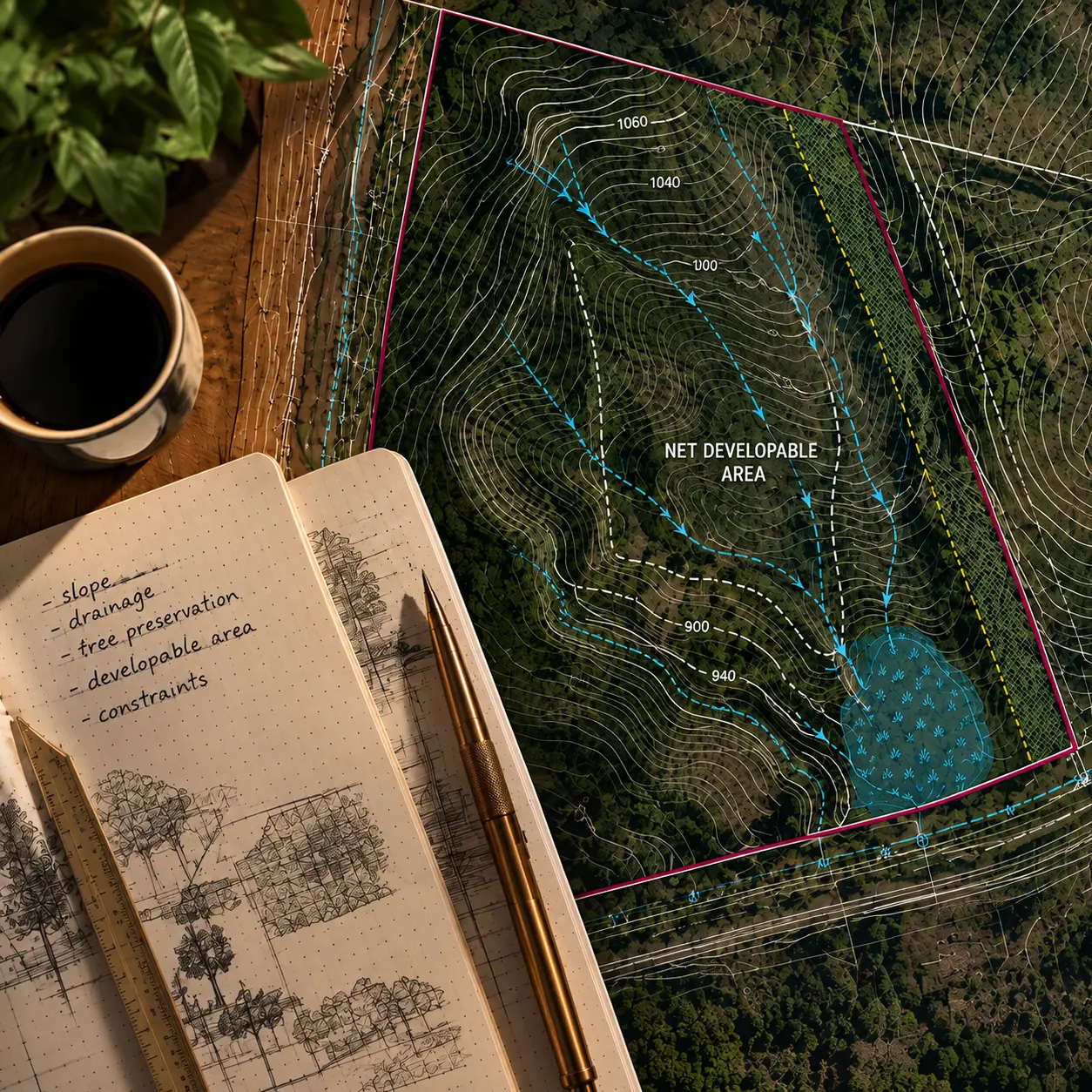
What can physically work here?
Contours, drainage, utilities, easements, and the net developable area shape what the site can support.
Read the workflow ↗How will people reach it?
Access points, right-of-way, turning movements, sidewalks, and pedestrian routes connect the parcel to everything around it.
Read the workflow ↗What is allowed—and who is responsible?
Zoning, setbacks, jurisdiction, permits, and infrastructure ownership define the rules and the responsible parties.
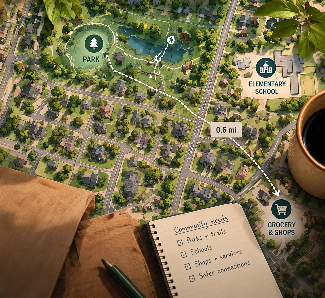
Read the workflow ↗What does this mean for me?
Technical layers resolve into clear streets, nearby places, likely change, and an answer someone can understand and use.
Read the workflow ↗HOW MY WORK HAS EVOLVED
I first used GIS to study what was happening beneath and across the landscape:
from landfill volumes and subsidence,
to terrain, LiDAR, and spatial patterns.
Each role brought me further behind the finished map: into the data, the workflows, the publishing, and eventually the systems connecting it all.
GPS-based volumetric calculations, seismic-reflection research, LiDAR and terrain data, remote sensing, data mining, machine learning, and published web maps.
Geodatabases, cartographic deliverables, automated data collection, data integration, database models, metadata, requirements, workflows, and conversion specifications.
ArcGIS Online, Experience Builder, configuration-driven web maps, JSON, Sanity, hosted layers, vector tiles, Arcade, Azure-hosted records, permissions, application dependencies, collaboration, and technical handoffs.
I’m building toward systems integration, solutions architecture, and technical consulting—with GIS as my foundation, not my ceiling. Having worked directly in GIS production and with the people using these tools, I bring an end-user perspective to understanding requirements, evaluating architectures, connecting workflows, and configuring connected technologies to deliver dependable solutions.
Civil · Workflow
Reading terrain, drainage, utilities, easements, and constraints together to understand what a site can actually support.
View in the Work Library ↗Public · Workflow
Translating technical GIS into a public-facing map with useful hierarchy, clear interactions, and information people can actually use.
View in the Work Library ↗Custom Web GIS · Case study
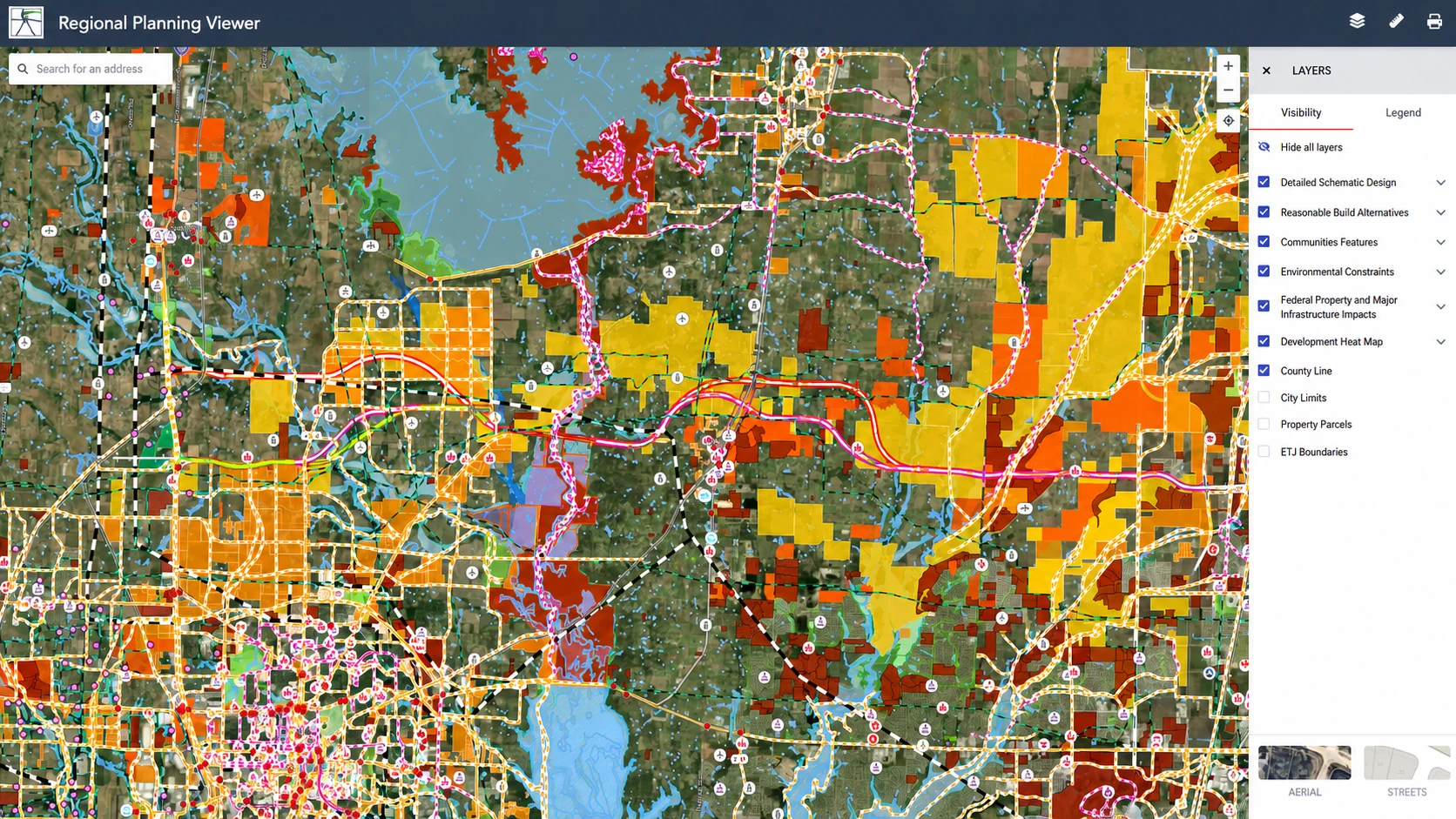
Adapting a configuration-driven viewer to organize 133 layers, two map styles, nested controls, and a public-facing legend without flattening the data.
View in the Work Library ↗Creative Technology · Case study
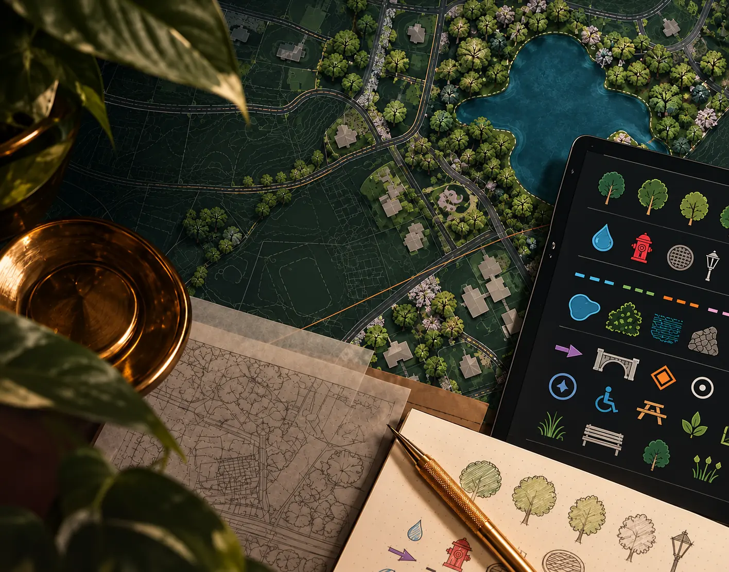
Building reusable vector symbols when stock GIS symbology cannot communicate the map's visual language clearly enough.
View in the Work Library ↗More work lives beyond the highlights.
Explore the Work Library ↗